-40%
Authentic Decommissioned MBTA Green Line Route Map, Boston
$ 39.6
- Description
- Size Guide
Description
Authentic Decommissioned MBTA Green Line Route Map, Boston.Condition is "Used". Shipped with USPS Priority Mail.
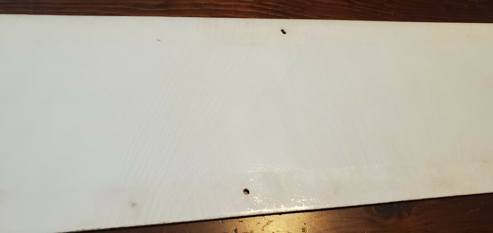
Oblong plastic/fiberglass board, 6.625"h x 34"w,printed in black and green. Six screw holes for mounting.
A schematic route map for Boston’s Green Line, originally displayed in a Massachusetts Bay Transit Authority transit car.
Perfect gift for the man cave, railroad fans, or someone who enjoys the greater Boston Area.
Condition of sign is as shown in photos.
This sign dates from 1971 or later, as it identifies the Haymarket stop, which was opened on May 10 of that year. This example was removed from a “T” car by the MBTA.
First established in 1856 as part of the Cambridge Horse Railroad, the Green Line is the oldest line of Boston’s subway system (aka “the T”). It runs roughly southwest from Lechmere Point in Cambridge to Copley and Kenmore Squares, where it splits into four branch lines extending into the city’s suburbs.
Condition
Minor scratches and soiling, some rubbing with minor loss to image.
Minor cracking that does not affect the structural integrity of the sign itself.


